Product Description
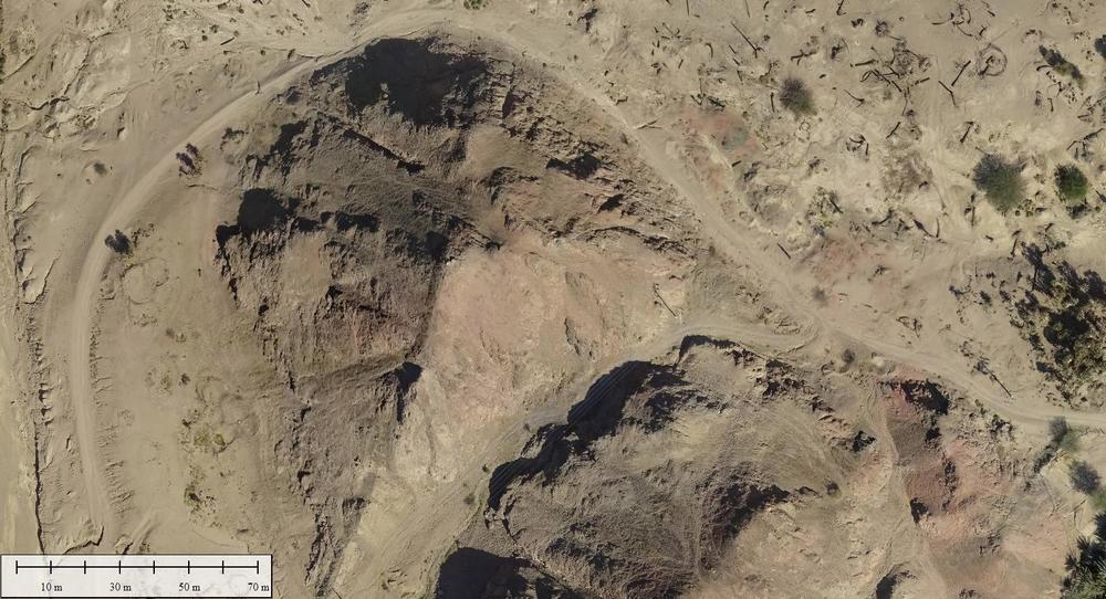
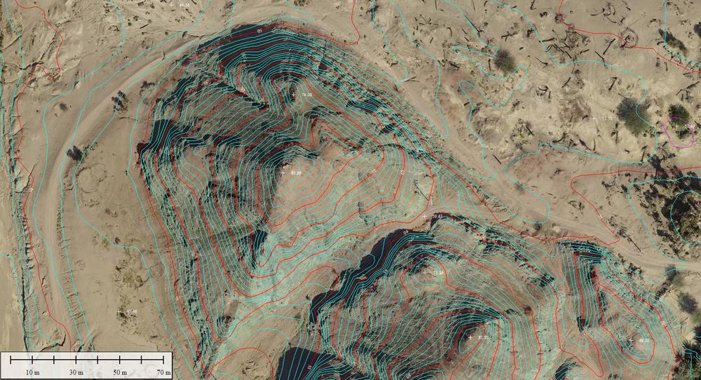
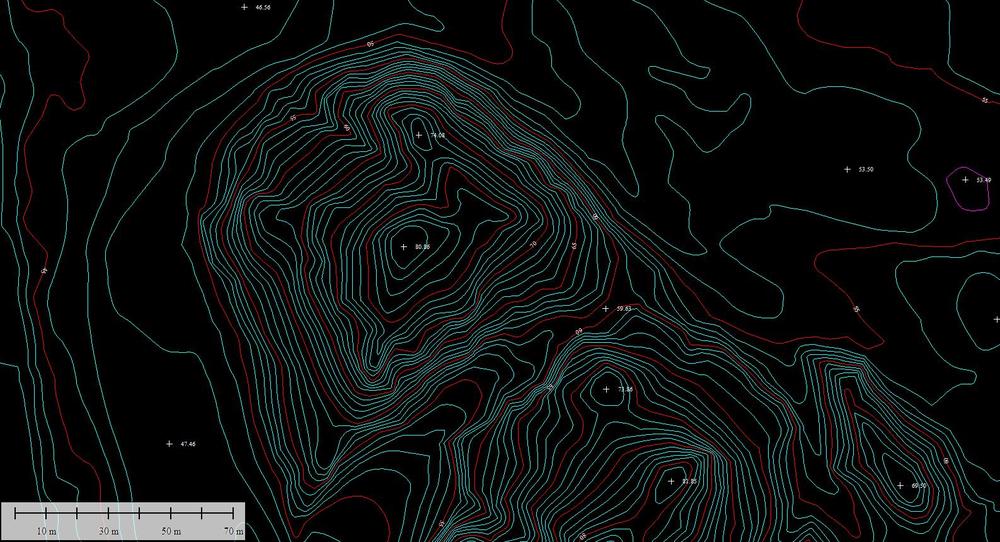
The company also produces Contour Maps from the data collected off Aerial Surveyies. Those Contour Maps shows the hierarchy of the site and shows the heights and decreases and level of gradation, by any terminator starts from 25 cm and extends to several meters and according to the request of the client, and can use the contour map with the aerial image and thus appear as a background image of the contour map As confirmation of the contour lines on the ground.

